On a small site, the route is obvious and the officer covers everything whether you plan it or not. On a large one — a multi-building campus, an industrial park, a distribution center with a trailer yard — the route is a real design problem, and the default answer is almost always wrong. The default is the path of least resistance: the loop that is easiest to walk, that keeps the officer near the vehicle, and that skips the places nobody enjoys visiting. Patrol route optimization is mostly the work of noticing that default and deliberately breaking it.
Efficiency is not the objective
The word “optimization” pulls people toward the traveling-salesman answer: shortest total distance touching every point. That is the wrong objective function for a patrol, and pursuing it produces worse security.
A patrol route has to satisfy several things at once, and some of them are in direct tension with distance:
- Coverage of the actual risk, which is often at the far end of the property, in the dark, and inconvenient.
- Officer safety, which sometimes argues for a longer path with better lighting and better radio coverage.
- Unpredictability, which by definition costs efficiency.
- Completability, so the officer can finish thoroughly within the window without rushing.
- Visibility to the client, because a route that never passes the tenant entrances produces a service nobody sees.
Optimize for distance alone and you will get a tight, fast loop around the core of the property that leaves the fence line untouched. That is exactly the route a company ends up with when nobody designs one.
Walk it before you draw it
Do not design a route from a site plan. Site plans lie by omission — they show doors that are welded shut, they do not show the gap in the fence behind the electrical yard, and they never show that the shortest path between building C and the yard runs across an unlit gravel lot that floods.
Walk the property at the hour the route will be run. Night sites get walked at night. Bring the account manager and, if you can, the officer who will run it. Note four categories as you go:
Chokepoints — places where anyone entering or leaving the property must pass. These are high-value checkpoints because one visit covers a lot of possibility.
Dead ends — the loading area with one way in and out, the fenced compound, the roof. Dead ends cost double time to visit and are therefore the first thing dropped when an officer is behind. They are also, reliably, where problems accumulate.
Blind corners and concealment — recessed doorways, the space behind a dumpster enclosure, the gap between a trailer and a wall. These do not need a checkpoint at every one, but the route should pass with a sightline into them.
Hazards to the officer — the stairwell with no signal, the area where a vehicle cannot follow, the section where an officer would be out of sight for a long stretch.
Sequencing: the part that actually matters
Once you know the points, the order is where the design lives.
Do not always run the loop in the same direction
A route walked clockwise every night at the same times is a published schedule. Anyone watching the property for a week knows exactly how long the northeast corner is unobserved. Simply alternating direction between tours changes the interval between visits to each point in a way that is hard to model from outside, and it costs nothing.
Break long unobserved intervals, not average coverage
Think about each location’s maximum gap, not its average. A route that hits the yard twice in the first two hours and then not again until dawn has fine averages and a terrible gap. Sequencing should aim to keep the longest unobserved interval at each high-risk location under a threshold you set deliberately.
Put the dead ends where the officer still has energy and time
If the roof and the far compound are the last two stops of a long route, they will be the first two casualties on a busy night. Front-load the expensive stops, or split them across alternating tours so each tour is completable.
Anchor the route to events, not only to the clock
Shift change at the client’s own operation, truck arrival windows, tenant closing time, the hour the cleaning crew leaves and the building goes empty. A route that ignores the property’s rhythm is optimized for a building that does not exist. Passing the employee exit while the shift is actually changing is worth more than three passes at 4 a.m.
Splitting into named routes
Beyond a certain size, one route stops being useful. The tell is that the tour takes so long that a partial completion is meaningless — you cannot tell from “18 of 31 points” whether the perimeter was covered or the interior was.
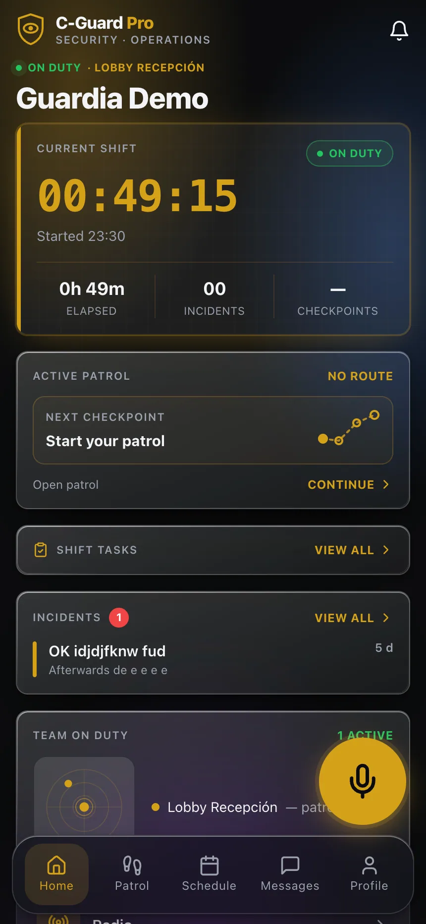
Split by function and name the routes: Perimeter, Interior, Yard, Garage. Each becomes independently schedulable and independently reportable, and an incomplete Yard route is legible on its own. It also lets you vary cadence sensibly — perimeter three times a shift, yard twice, garage once after tenant departure — instead of forcing everything to the frequency of the most demanding area.
Named routes also make the client conversation easier. “Perimeter was run four times, yard twice” is a service description. “31 of 42 checkpoints” is a compliance statistic that invites an argument.
Vehicle and foot: decide per segment, not per site
Large sites almost always need both, and the mistake is choosing one for the whole route. A vehicle covers ground and gets the officer out of weather; it also removes almost all of the officer’s ability to observe. You cannot hear a compressor running wrong, smell a fuel leak, or see that a padlock is hanging open through a windshield at fifteen miles an hour.
The workable pattern is to drive between zones and walk within them. Which means the route design needs to specify, per segment, whether it is a drive or a dismount — and the checkpoints in walk-only areas should be placed so that they cannot plausibly be reached from the vehicle. A checkpoint at the gate proves nothing about the yard; one at the far fence line does.
What the data tells you afterward
The route you design is a hypothesis. The tour records tell you whether it survived contact with reality.
Three things worth reading regularly:
Interval distribution between consecutive checkpoints. Consistently short intervals on a segment that should take five minutes to walk mean the segment is being driven or skipped. Consistently long ones on a short segment usually mean the officer is being stopped there by something — often a tenant, sometimes a hazard — and that is worth knowing.
Which points get missed, by whom, and when. A point missed by everyone is a route defect. A point missed by one officer is a supervision conversation. A point missed only on Sundays usually means something on the property changes on Sundays.
Where the officer’s recorded position diverges from the route. GPS position attached to each scan does not just verify presence; over weeks it shows you the paths officers actually take, which are frequently better than the ones you drew. If every officer independently invents the same shortcut, the shortcut is probably the real route and your design is fighting the property.
Review triggers
Do not wait for the quarterly review if any of these happen: construction starts or ends, a building changes occupancy, lighting is added or fails permanently, the client changes their own operating hours, or an incident occurs anywhere the route does not pass. That last one is not optional — an incident in an uncovered area is the property telling you your design is out of date.
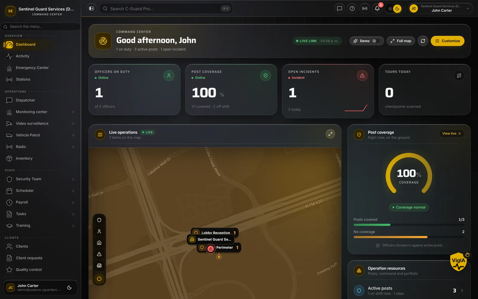
Keeping route definitions, checkpoint scanning and the officers’ own daily activity reports in one place is what makes those reviews fast enough to actually happen. When each of those lives in a different binder, the review gets scheduled and then quietly skipped, and the route ossifies into the convenient loop you started out trying to avoid.
If you want to see how route design, checkpoints and field records come together in one operation, explore CGuardPro or get in touch.